
Amsterdam announces route and street closures for Sinterklaas in Amsterdam 2026
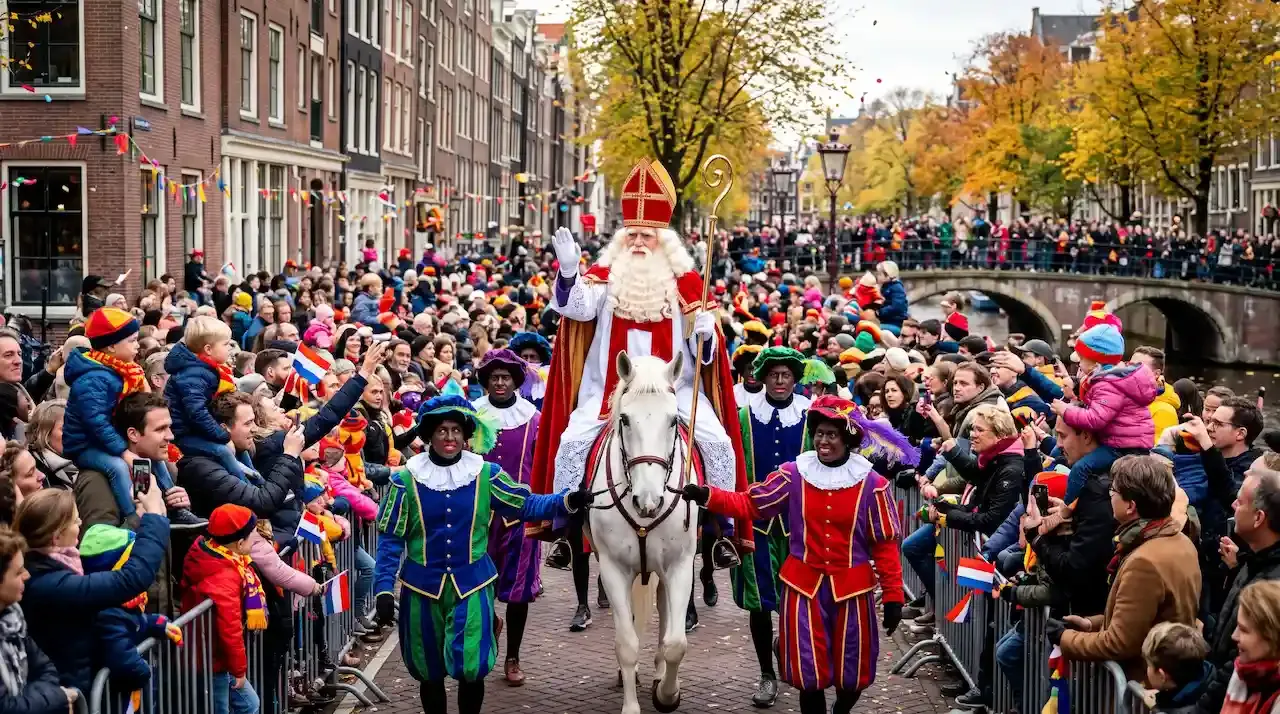
Sinterklaas in Amsterdam returns this Sunday, November 15, 2026, bringing a boat procession and street march through the Dutch capital. Admission to the Amsterdam Sinterklaas Parade is completely free for all residents and tourists. However, because the Arrival of Sinterklaas in Amsterdam crosses major waterways and central avenues between 10:00 and 15:00, municipal authorities implement temporary roadblocks, bridge restrictions, and public transit diversions across the city center, which can affect tourists' itineraries during their trip to Amsterdam this weekend.
What is the route of the Sinterklaas Parade in Amsterdam?
The Sinterklaas Parade Amsterdam divides into a morning canal procession and an afternoon street march. The Sinterklaas Arrival Parade begins on the Amstel River before transitioning onto land at the Oosterdok docks, passing through multiple squares on its way to Leidseplein.
| Stage | Water Procession |
|---|---|
| Time | 10:00 – 11:30 |
| Segment / Location | Amstel River to Oosterdok |
| Key Landmarks and Bridges | Starts at Omval, passes under Berlagebrug, Nieuwe Amstelbrug, Hogesluis, and Magere Brug, turns onto Nieuwe Herengracht, and docks at the Scheepvaartmuseum. |
| Stage | Dock Disembarkation |
|---|---|
| Time | 11:30 – 12:15 |
| Segment / Location | Oosterdok / Prins Hendrikkade |
| Key Landmarks and Bridges | Sinterklaas steps ashore at the National Maritime Museum and mounts his horse, Ozosnel. |
| Stage | Street Parade |
|---|---|
| Time | 12:15 – 14:30 |
| Segment / Location | Central Canal Belt & Squares |
| Key Landmarks and Bridges | Advances via Prins Hendrikkade, Valkenburgerstraat, Mr. Visserplein, Waterlooplein, Blauwbrug, Amstelstraat, Rembrandtplein, Utrechtsestraat, Frederiksplein, Weteringschans, and Weteringcircuit. |
| Stage | Final Reception |
|---|---|
| Time | 14:30 – 15:00 |
| Segment / Location | Leidseplein |
| Key Landmarks and Bridges | Concludes on the main stage in front of the Internationaal Theater Amsterdam. |
Sinterklaas in Amsterdam 2026 route map
This visual guide helps tourists attending the Amsterdam Sinterklaas Parade locate viewing spots along the Amstel River and the central squares, while also assisting travelers staying in nearby neighborhoods, such as the Canal Belt, Plantage, De Pijp, and Jordaan, in planning around street closures and transit stations:
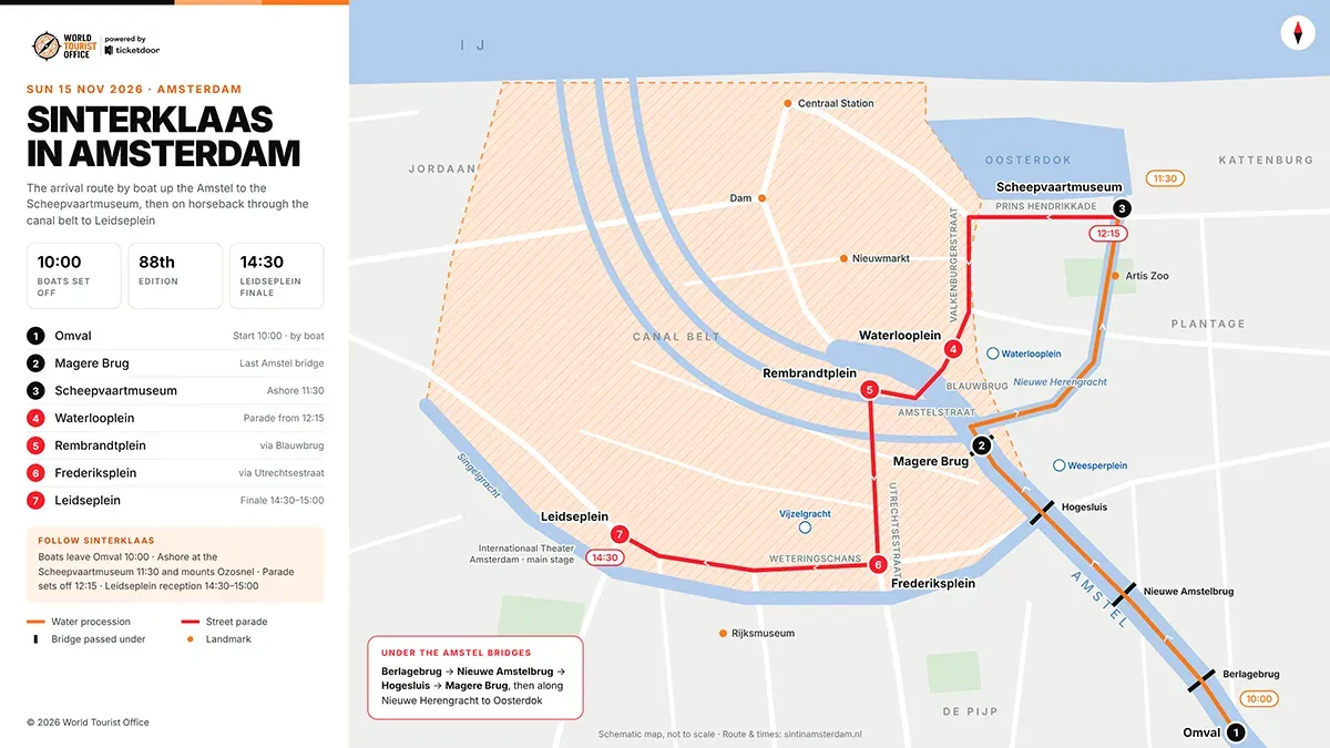
Street closures and traffic Restrictions during the Sinterklaas Arrival Parade
To accommodate the Sinterklaas Arrival Parade and crowds of local families and tourists, the Municipality of Amsterdam closes roads to motorized traffic and restricts waterway navigation along the entire trajectory of Sinterklaas in Amsterdam.
- Prins Hendrikkade and Oosterdok: Authorities close the eastern section of Prins Hendrikkade near the Scheepvaartmuseum between 11:00 and 13:00 while the procession forms on land.
- Valkenburgerstraat, Mr. Visserplein, and Waterlooplein: Roadblocks prevent through-traffic along this corridor from 11:45 until 13:30 as the Sinterklaas Parade Amsterdam moves toward the Amstel crossings.
- Blauwbrug, Amstelstraat, and Rembrandtplein: The Blauwbrug closes to vehicles and cyclists from 12:00 to 14:00, isolating Rembrandtplein and surrounding side streets during the midday pass-through.
- Utrechtsestraat and Frederiksplein: Rolling closures take effect along Utrechtsestraat and across Frederiksplein between 12:30 and 14:30, halting cross-traffic between the eastern and western canal rings.
- Weteringschans, Weteringcircuit, and Leidseplein: Traffic restrictions apply along Weteringschans and the Weteringcircuit roundabout from 13:00 until 15:30, while Leidseplein remains closed to vehicles and trams throughout the afternoon stage program.
- Canal and Bridge restrictions: During the Arrival of Sinterklaas in Amsterdam, bridges along the Amstel River and Nieuwe Herengracht remain lowered or locked according to parade timings, and private vessels cannot navigate or moor along the water route between 09:30 and 12:00.
- Public transit diversions: GVB reroutes or shortens tram lines 1, 2, 4, 5, 7, 12, 14, and 19 around the closed corridors of the Amsterdam Sinterklaas Parade, leaving underground metro stations, such as Amstelstation, Waterlooplein, and Vijzelgracht, as the primary unobstructed access points for tourists and commuters.
Book your tickets for top monuments in Amsterdam
Tourists organizing a trip around the Sinterklaas Parade Amsterdam can also book entry to some of the best tourist places in Amsterdam and nearby excursions:
More information about Amsterdam
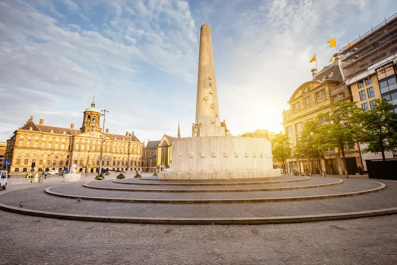
Amsterdam tourist tax
The guide to the Amsterdam tourist tax explains the 12.5% city tax on the room price before VAT, what it adds to a stay and who does not pay it.
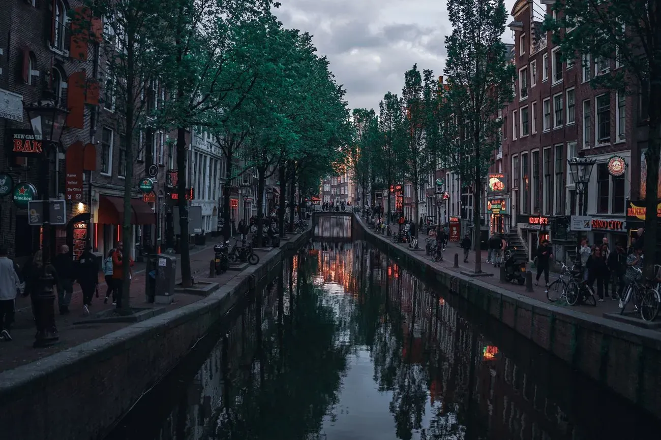
Is Amsterdam safe for tourists?
The guide to whether Amsterdam is safe for tourists compares the travel advisories, maps police reports of pickpocketing by district and lists who to call.
Amsterdam tourist office
The Amsterdam tourist office guide explains where to ask in person, with the opening hours of the I amsterdam Store and the GVB counter at Central Station and the 11 public holidays of 2026.