Normandy stretches along France's Channel coast from the Seine estuary to the edge of Brittany, and its history is defined by two invasions launched in opposite directions nine centuries apart. Between the two lie half-timbered market towns, chalk cliffs and the orchards of the Calvados countryside.
Two invasions, one region
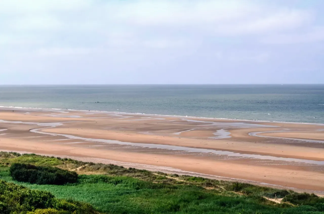
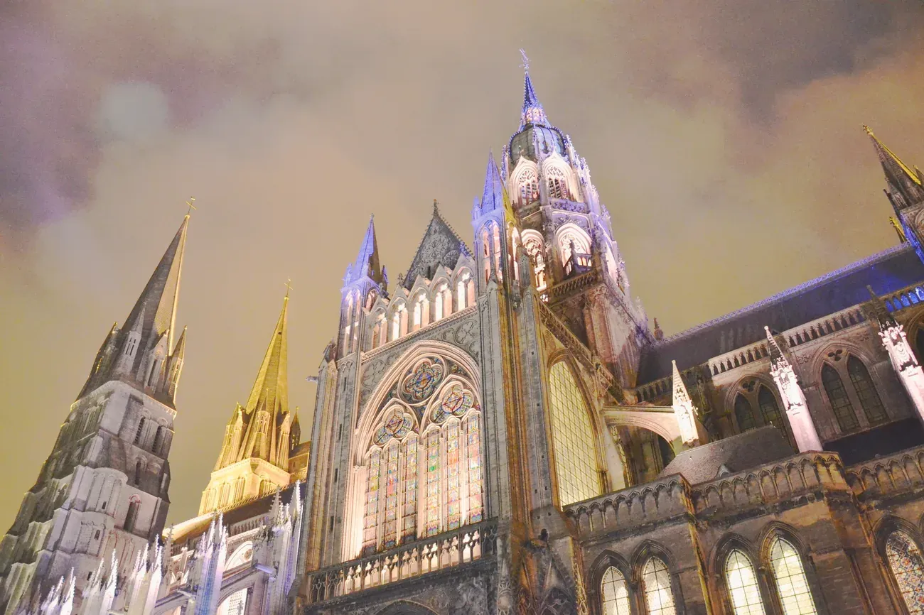
William, Duke of Normandy, conquered England in 1066, a campaign recorded in the Bayeux Tapestry. In 1944, the direction reversed: Allied forces landed on the beaches west of Bayeux to liberate Europe, and the cemeteries, bunkers and museums along that coast now form the region's best-known attraction.
Coastline, countryside and Paris connections
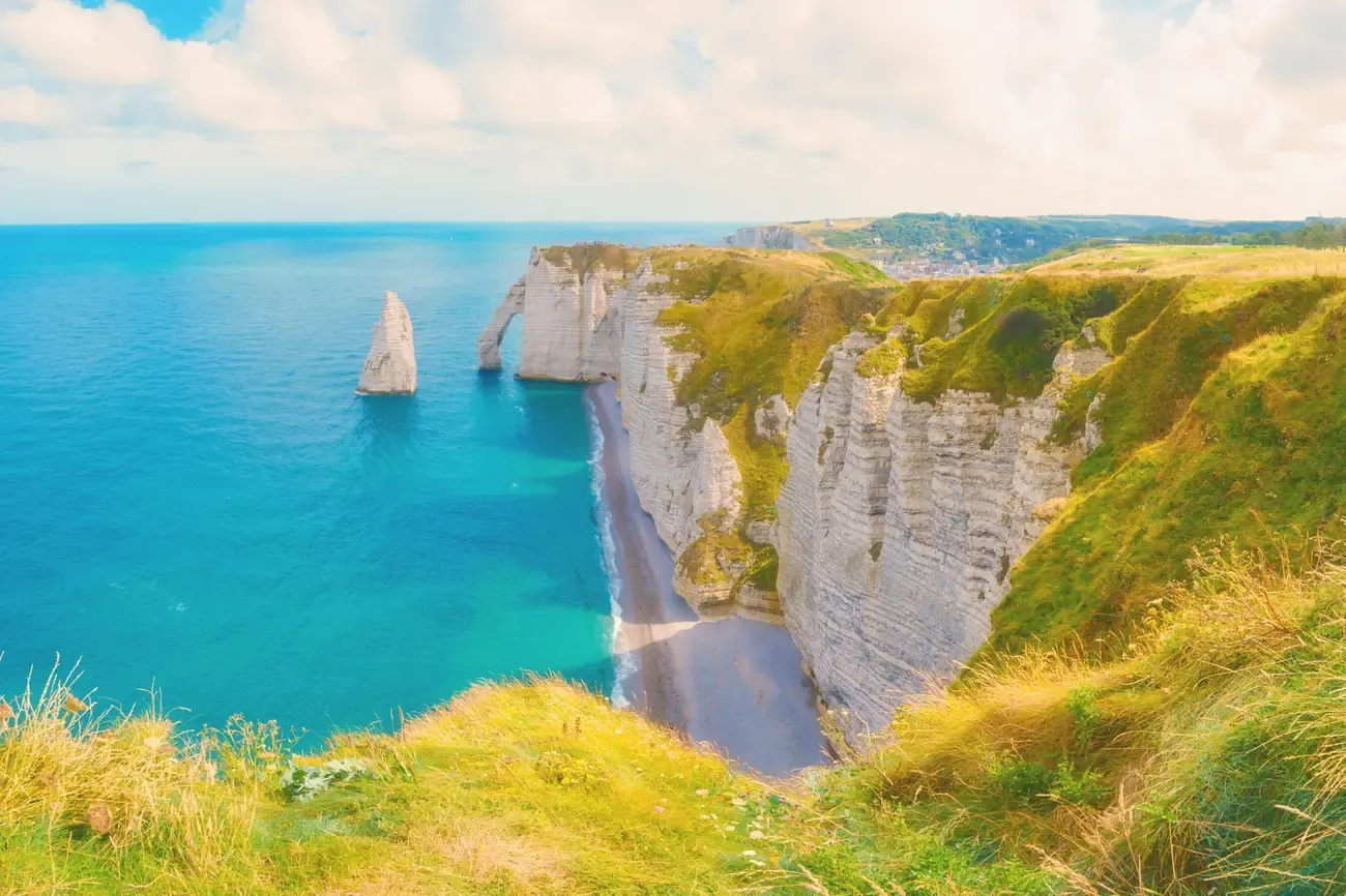
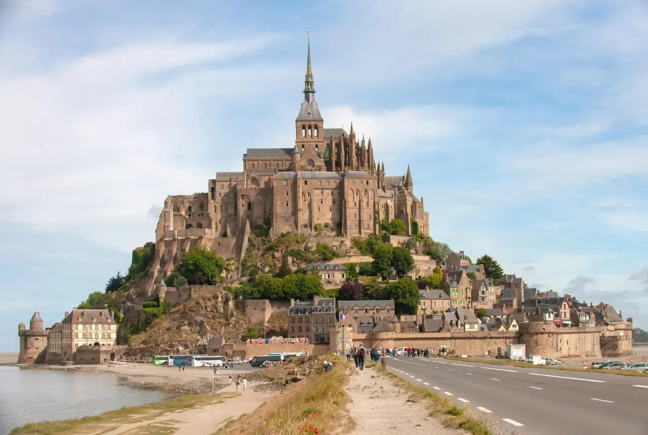
Beyond the D-Day coast, the Alabaster Coast's chalk cliffs run 140 kilometres between the Seine and Somme estuaries, at their most dramatic around Étretat. Honfleur's old harbour, the Gothic old town of Rouen and Monet's gardens at Giverny sit further east, all closer to Rouen than to Bayeux, and Mont-Saint-Michel rises alone on the region's western tip.
When to go and how long to stay
Spring and early autumn bring milder weather and fewer coach groups than midsummer. The D-Day coast alone fills a full day from Bayeux; seeing Rouen, Honfleur, Étretat and Giverny as well takes four to five days in total, since those sights sit closer to Rouen than to the coast.
Getting around a region built for driving
Distances between Normandy's towns run into hours rather than minutes: a car is the practical way to link the coast, Bayeux and Rouen in one trip. Direct trains from Paris reach Rouen in around 1 hour 20 minutes and Caen in about 2 hours, but a rental car is still needed once there for the coast and the smaller villages. The landing beaches on that coast joined the UNESCO World Heritage List in 2026, one more of the tourist attractions to see in France that sit well outside Paris.